How It All Started
Designs that move you.
This project began as a personal solve—born not from a brief or client, but from years of riding and not having a map that truly worked for cyclists.
In Boulder, rides tend to head west into the mountains or east onto the plains. That’s how our maps are oriented: west-up, like a ride itself. We kept noticing how existing tools were cluttered or incomplete, so Zach started sketching a clearer way to show the roads, climbs, and connections that locals actually use.
The first version was built on collective knowledge—from old Coors Classic routes to modern gravel favorites—and designed to be easy to use, easy to carry, and easy to trust.
Like a subway map for cyclists, it tells you just enough to feel confident, without weighing you down. No batteries. No guesswork. Just a beautiful, durable tool for exploring by bike.
“Even if you’ve lived here for years, you’ll see something new.”

Designer, mapmaker,
climber-at-heart
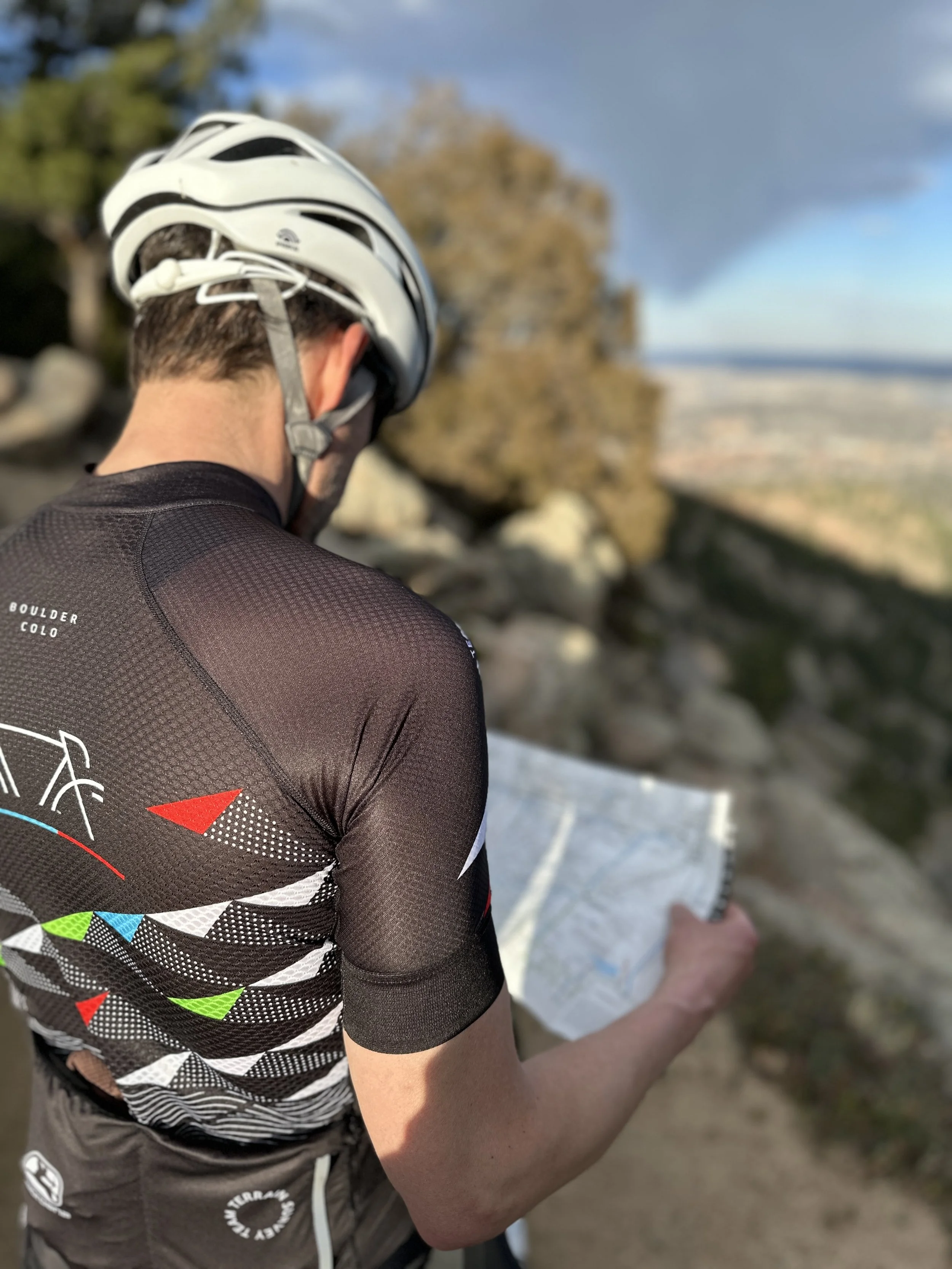
Zach is the creative force behind our maps—obsessed with clarity, type, and elevation gain. He rides to test routes, beat his own times, and refine every visual detail. He’s happiest climbing solo or riding familiar loops with a purpose (and a KOM in mind).

Explorer, community-builder,
idea-generator
Michelle brings a multidisciplinary design background and a passion for thoughtful operations. She loves discovering new routes, creating content, and building relationships that grow the business. She’s driven by impact and always asking: Is this helping people ride better, feel more confident, and enjoy the journey?
Collaborator Highlight
Cory Pomerantz
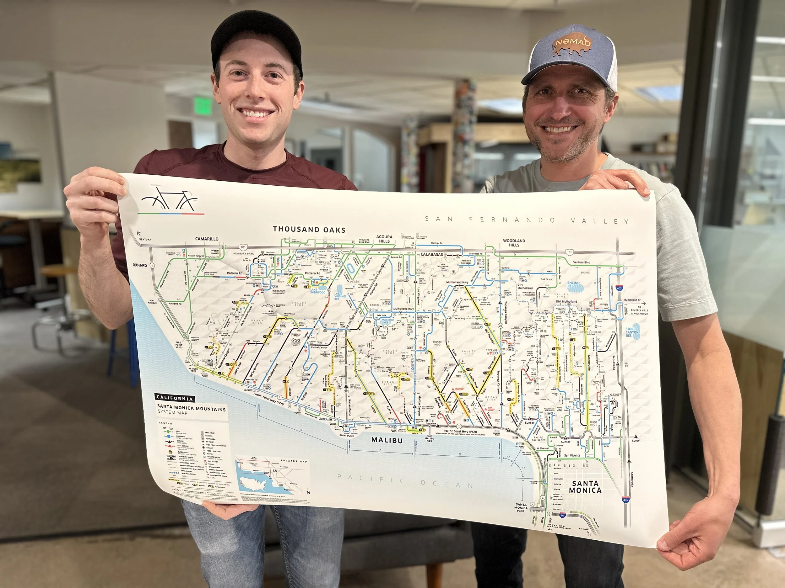
The Santa Monica Mountains System Map, Regional Map, and Profile Series wouldn’t exist without the insight and dedication of Cory Pomerantz. As a local rider with deep knowledge of the area’s roads, trails, and riding culture, Cory worked closely with Zach—refining routes, testing connections, and ensuring every detail reflected the lived experience of cycling in and around Santa Monica Mountains. This kind of collaboration is what makes our maps both beautiful and deeply usable. Thank you Cory!
Thoughtfully Designed for Cyclists, by Cyclists
We design cyclist-specific tools, systems, and experiences that support both everyday exploration
and once-in-a-lifetime adventures.
Large-Scale Murals & Interactive Installations – Public-facing artwork that merges design, data, and place in meaningful ways.
Signage & Wayfinding Systems – Clear, accessible visuals designed to help riders navigate cities, parks, and trail systems with ease
System Maps – Urban and regional guides that clarify complex networks of roads, trails, and gravel routes.
Environmental Design – Spatial design for exhibits, shops, and cycling-focused spaces.
Want to collaborate, share an idea,
or bring our maps to your shop or city?
Say Hello:
zach@simplecyclingmaps.com
Inquiries:
michelle@leedesign.co